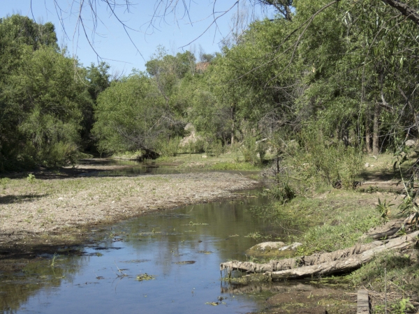
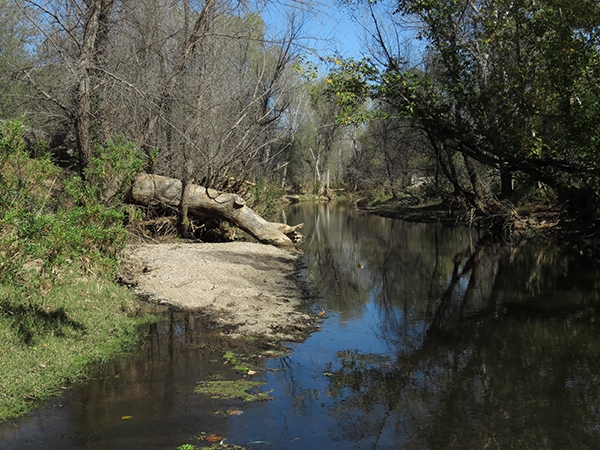
Sonoita Creek
Coordinates
Latitude: 31.484975833700
Longitude: -110.881018800000
Longitude: -110.881018800000
County:
Santa Cruz County
Note: Visitors to the Sonoita Creek Natural State Area (below the Patagonia Lake dam) must obtain an access permit. Permits are issued at the nearby Patagonia State Park.
Species Found Here
-
Hetaerina americana
-
Argia pallens
-
Argia munda
-
Enallagma praevarum
-
Argia nahuana
-
Tramea lacerata
-
Dythemis nigrescens
-
Apanisagrion lais
-
Pachydiplax longipennis
-
Rhionaeschna multicolor
-
Argia sedula
-
Archilestes californicus
-
Sympetrum illotum
-
Orthemis discolor
-
Argia anceps
-
Ischnura hastata
-
Enallagma semicirculare
-
Anax junius
-
Plathemis lydia
-
Telebasis salva
-
Enallagma basidens
-
Argia translata
-
Enallagma civile
-
Argia oenea
-
Pseudoleon superbus
-
Libellula saturata
-
Anax walsinghami
-
Progomphus borealis
-
Archilestes grandis
-
Argia immunda
-
Argia hinei
-
Remartinia luteipennis
-
Perithemis intensa
-
Ischnura demorsa
-
Enallagma novaehispaniae
-
Ischnura cervula
-
Hesperagrion heterodoxum
-
Brechmorhoga mendax
-
Aeshna persephone
-
Erythrodiplax basifusca
-
Paltothemis lineatipes
-
Tramea onusta
-
Orthemis ferruginea
-
Erpetogomphus lampropeltis natrix
-
Brechmorhoga praecox
-
Perithemis domitia
-
Argia extranea
-
Pantala hymenaea
-
Argia funebris
-
Erpetogomphus elaps
-
Macrothemis inacuta
-
Argia tezpi
-
Rhionaeschna psilus
-
Argia fumipennis
-
Sympetrum corruptum
-
Pantala flavescens
-
Erythemis collocata
-
Macrothemis pseudimitans
-
Libellula luctuosa


News From This Location
-
November 18, 2017
-
November 18, 2017
-
November 18, 2017
-
November 18, 2017
-
June 13, 2015
-
April 3, 2015
-
November 15, 2014